
Blog

Announcing NEW GSS Utility Gimbal Series
GSS announces three new gimbal models for aerial inspection and survey.
Gyro-Stabilized Systems is pleased to introduce three new gimbal models: U416, U512EX, and U512EX OGI. These 4 and 5-axis gimbals were developed for aerial inspection and survey with direct feedback from the industry's most knowledgeable specialists.

The GSS Utility systems integrate the highest quality cameras on the market with interchangeable sensors including:
Digital Stills Imagery
4K/HD Daylight Camera
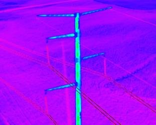
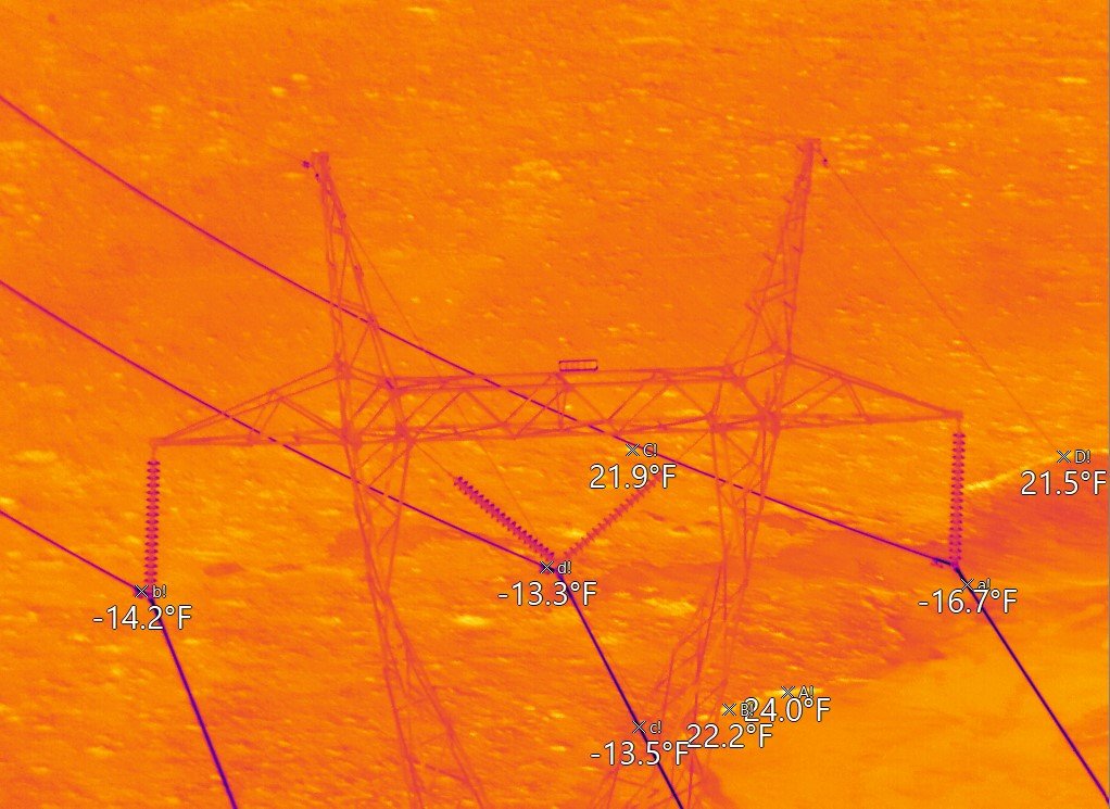
High-Resolution Thermal IR
Corona Detection
Geo-referencing/Tracking
From the small and light U512EX and U512 EX OGI with dual sensor capability to the U416 housing up to four sensors, you have the opportunity to custom build the gimbal experience that matches your needs.
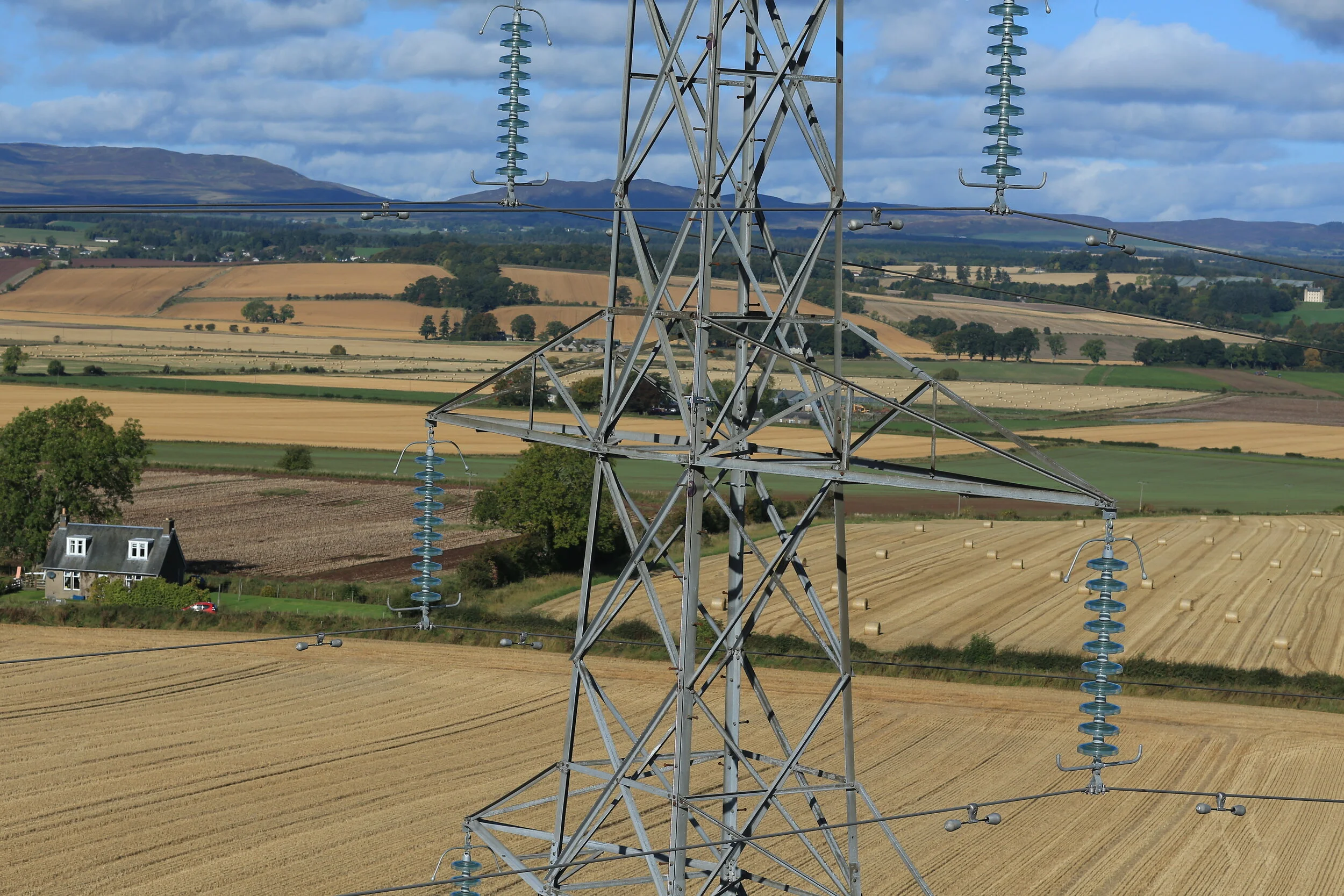
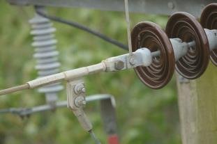
Whether you are inspecting power lines, pipelines or visually detecting gas leaks, this tool helps you find the problems in the fastest, safest, and most accurate way.

Featuring the U416 GSS Gimbal
At Gyro-Stabilized Systems, we are committed to providing the highest quality, most reliable tool for the job. With over 70 years of combined experience in the commercial and government/military gimbal markets, we make our customers our highest priority.

GSS Unveils GeoPro Navigation System for Utility Inspection

Your Utility Inspection Solution
has arrived…..
As the Utility Industry confronts new realities for securing highly accurate inspection data, Gyro-Stabilized Systems (GSS) unveils its Utility gimbal series equipped with the proprietary GeoPro Inertial Navigation System providing an effective and impressive solution to meeting industry requirements.
The system offers customers the flexibility of hot-swappable payloads and sensors for a variety of inspection work, power line and pipeline inspection, gas leak detection and more.
The GeoPro Inertial Navigation provides highly accurate data with real-time data stream and external gimbal control. Working like a digital assistant, the software offers auto slewing to KML points, focus using slant range and DTED data, and is fully compatible with most GIS software systems.
Don’t miss the chance to bid on future inspection contracts with the highest performing 5-axis stabilization platform accommodating the most powerful cameras and sensors on the market. Watch this video to view first-hand the Utility series and GeoPro Inertial Navigation System in action!