Critical Components to Utility Inspection Flights
Through the process of launching our Utility gimbal series, we have learned so much about what is critical to a successful inspection mission including the precision, flexibility and sensors needed. We know maximizing air time is paramount and securing specific, usable footage will make or break the investment spent in time and resources.

Here is our guide to making the most of every moment on an inspection flight.
Ensure every photo is in focus resulting in precise imagery. Focused images are essential to the success of every mission, and it’s surprising how often this doesn’t happen. Camera quality and stability equally impact focus. We found a 102 mp Sensor with 140-280 mm lens and a resolution of 102 million pixels provides consistent, high quality digital stills. Just as important is a good auto focus engine. Autofocus speed and accuracy are critical to nail perfect focus on your desired subject using highly accurate phase detection pixels across approximately 100% of the frame.
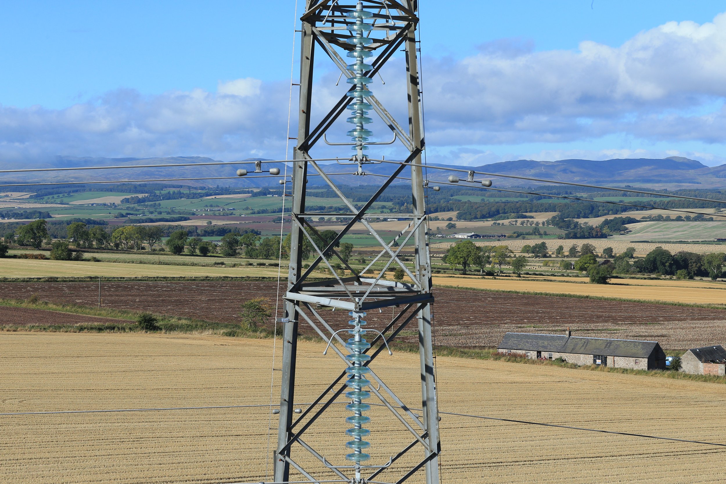
Be able to fly at low altitude and high altitude without losing quality. Having flexibility during flight to reach higher altitudes and faster speeds can economize the mission – and you don’t have to sacrifice quality. 500-1000 feet AGL inspection capable using long zooms, while keep the resolution necessary for detailed inspection analysis
Video: With an HD/4K daylight camera, our system offers 20x optical zoom so the same high-quality imagery can be obtained with losing quality. This alone will maximize the efficiency of every mission. Get wide angle 4K video recorded and use for retracing the steps of your inspection.
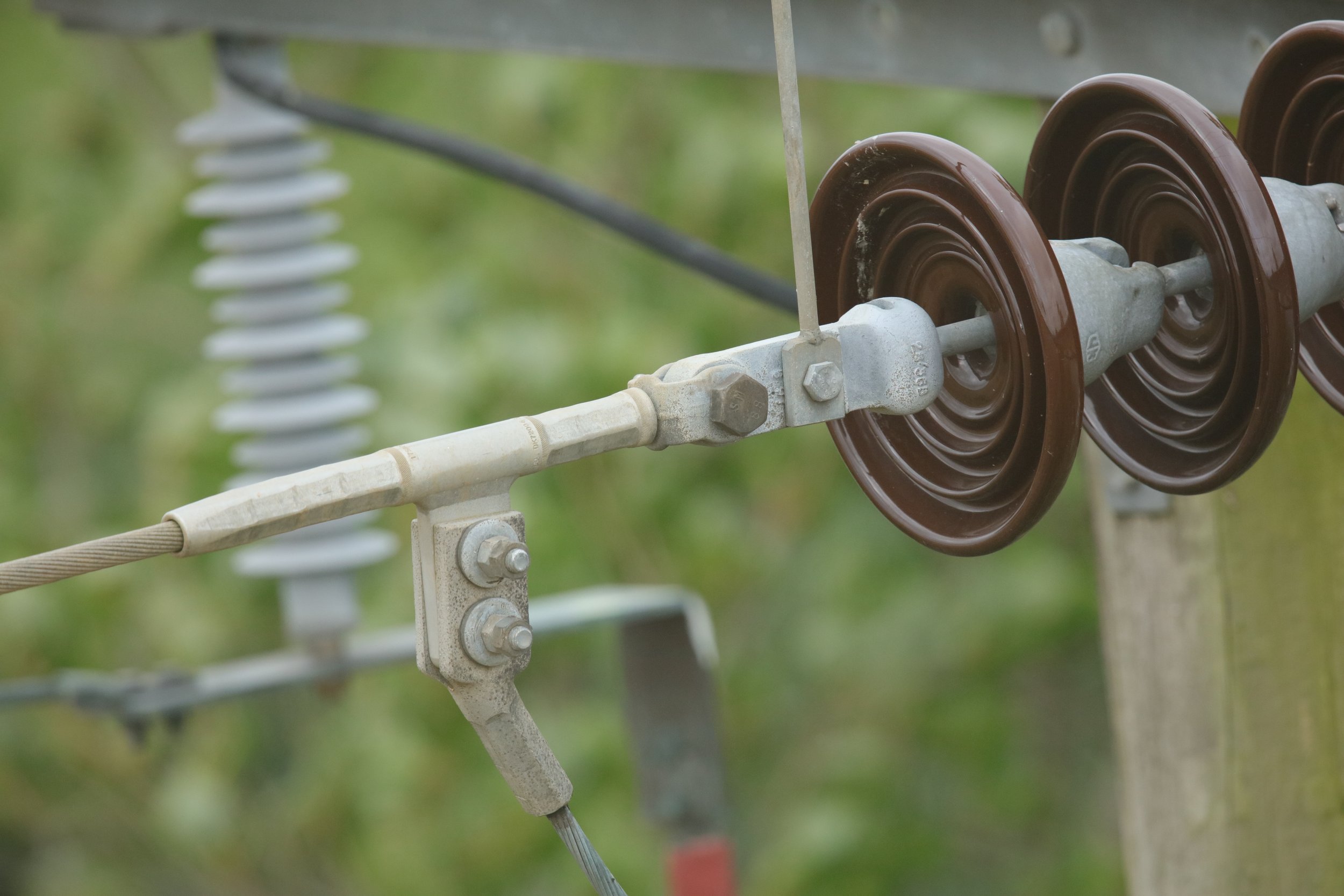
Stills: The ability to get the close in shots of the insulator, or the full transmission or distribution pole shots at 102MP, gives you the ability to use the GSS U416 for multiple types of inspection work.
Thermographic: High Quality, High Definition Thermographic images from 500feet AGL using long lens.
Geotag every photo. The ability to quickly identify the exact location of an issue or fault is critical to every inspection flight. With the GSS Geopro™ system, turn metadata into real points on the ground. The system provides operator and pilot assistance and will geotag every piece of imagery collected on the flight.
Use machine learning programs to extract relevant data. Machine learning can quickly identify issues or faults for closer inspection. Report and recommend next steps with confidence to ensure meeting safety and regulatory requirements on the grid.
Learn about the GSS Utility Series..